
फ़ीनिक्स से फ़्लैगस्टाफ की यात्रा की योजना बनाते समय विभिन्न कारकों पर विचार करना आवश्यक है, जिसमें सर्वोत्तम परिवहन विकल्प, दूरी, यात्रा समय और लागत शामिल हैं। यह विस्तृत गाइड आपको सभी आवश्यक जानकारी प्रदान करेगा, स्पष्ट रूप से समझाते हुए कि शट्ल सेवाएँ अक्सर फ़ीनिक्स से फ़्लैगस्टाफ तक यात्रा करने का सबसे सुविधाजनक और किफायती तरीका क्यों होती हैं।
फ़ीनिक्स से फ़्लैगस्टाफ की सटीक दूरी
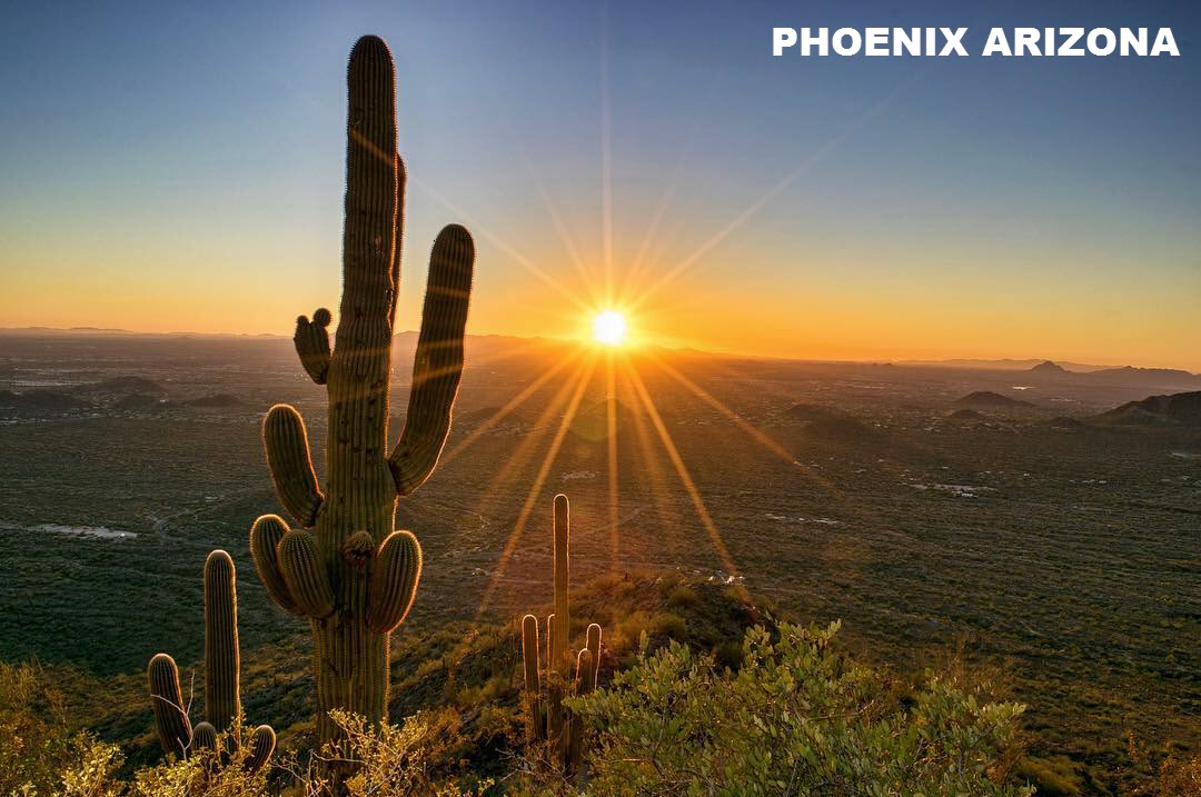
डाऊनटाउन फ़ीनिक्स, एज़ेड और डाऊनटाउन फ़्लैगस्टाफ, एज़ेड के बीच सीधी दूरी लगभग 144.5 मील है। हालांकि, वास्तविक मीलेज़ आपके सटीक प्रारम्भ और अन्त बिंदुओं के आधार पर काफी बदल सकता है। फ़ीनिक्स एक व्यापक क्षेत्र को कवर करता है, लगभग 32‑मील रेडियस के साथ जिसमें आसपास के शहर शामिल हैं, जबकि फ़्लैगस्टाफ लगभग 5‑मील रेडियस में स्थित है। इसलिए, वास्तविक दूरी आमतौर पर 107.5 से 181.5 मील के बीच रहती है, जिससे सटीक पिक‑अप और ड्रॉप‑ऑफ़ पते नियोजन के लिए अत्यंत महत्वपूर्ण होते हैं।
फ़ीनिक्स से फ़्लैगस्टाफ का अनुमानित यात्रा समय
आमतौर पर, फ़ीनिक्स से फ़्लैगस्टाफ तक की यात्रा का समय आदर्श परिस्थितियों में लगभग 2 घंटे 15 मिनट रहता है। लेक हवासू दूरी विवरण हालांकि, यह कई कारकों के आधार पर काफी बदल सकता है:
-
ट्रैफिक स्थितियां: भीड़भाड़ के समय में आपकी यात्रा में लगभग 30 मिनट का अतिरिक्त समय लग सकता है।
-
सड़क स्थितियां: इंटरस्टेट 17 (I-17) पर घटनाएं या दुर्घटनाएं अतिरिक्त एक घंटे तक की देरी का कारण बन सकती हैं। यह दुर्लभ है, लेकिन संभव है।
इन संभावित चर को देखते हुए, विशेष रूप से उड़ान पकड़ने या निर्धारित अपॉइंटमेंट्स में भाग लेने के लिए अतिरिक्त यात्रा समय आवंटित करना उचित है।
फ़ीनिक्स से फ़्लैगस्टाफ तक के परिवहन विकल्प
यात्रियों आमतौर पर फ़ीनिक्स से फ़्लैगस्टाफ की यात्रा की योजना बनाते समय कई प्रकार के परिवहन का विचार करते हैं: शटल सेवाओं की तुलना फ़्लैगस्टाफ यात्रा गाइड
1. शटल सेवाएं
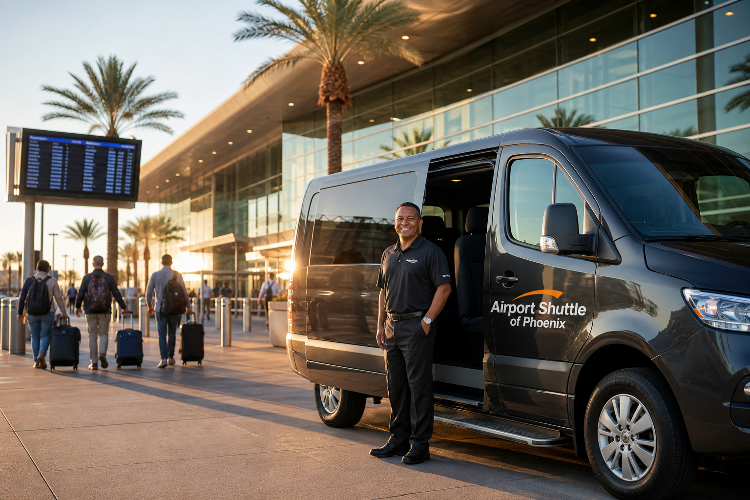
शटल सेवाओं को इस मार्ग के लिए सबसे कुशल, आरामदायक और किफायती विकल्प माना जाता है: Phoenix to Flagstaff shuttle
-
डोर-टू-डोर सुविधा: हमारे जैसे शटल सेवाएँ डोर-टू-डोर पिक‑अप और ड्रॉप‑ऑफ़ प्रदान करती हैं, जिससे अतिरिक्त लागत और जटिलताएँ समाप्त हो जाती हैं।
-
नॉन‑स्टॉप यात्राएँ: साझा शटल और बसों के विपरीत, हम आमतौर पर सीधी, नॉन‑स्टॉप ट्रांसपोर्टेशन प्रदान करते हैं, जिससे यात्रा समय काफी घटकर लगभग 2 घंटे 15 मिनट हो जाता है।
-
आराम और सुरक्षा: शटल में आरामदायक सीटें, पर्याप्त सामान स्थान, और पेशेवर रूप से प्रशिक्षित ड्राइवर होते हैं जिनकी पृष्ठभूमि की कठोर जाँच की गई होती है।
2. ग्रेहाउंड और साझा राइड सेवाएँ
ग्रेहाउंड जैसी साझा बसें अधिक किफायती किराए पेश करती हैं लेकिन उनमें उल्लेखनीय कमियां होती हैं:
-
विस्तारित यात्रा समय: कई स्टॉप्स के कारण यात्राएँ आम तौर पर लगभग 4 घंटे लेती हैं।
-
असुविधा: यात्रियों को अक्सर बस टर्मिनल और अंतिम गंतव्य तक पहुँचने के लिए अतिरिक्त परिवहन की व्यवस्था करनी पड़ती है।
सुविधा संबंधी चिंताएँ: भीड़भाड़ की स्थितियों से यात्रा असुविधाजनक हो सकती है, विशेषकर लंबी यात्राओं में।
3. टैक्सी सेवाएँ
टैक्सियों से दरवाज़ा-से-दरवाज़ा सेवा मिलती है लेकिन लागत काफी अधिक होती है:
-
महँगी दरें: आम तौर पर शटल सेवाओं से दोगुनी लागत।
-
वाहन की गुणवत्ता: सामान्यतः टैक्सियों में समर्पित शटल सेवाओं द्वारा प्रदान किए जाने वाले लक्ज़री और सफ़ाई मानक नहीं होते।
4. उबर और लिफ़्ट
उबर और लिफ़्ट जैसी राइड-शेयरिंग सेवाएँ शटल सेवाओं के समान कीमतें देती हैं लेकिन लंबी दूरी की यात्राओं के लिए महत्वपूर्ण सीमाएँ रखती हैं:
-
सीमित उपलब्धता: चालक अक्सर लंबी दूरी की यात्राएँ रद्द कर देते हैं क्योंकि वापसी यात्रा का असुविधा और लागत अधिक होती है।
-
अप्रत्याशित मूल्य निर्धारण: सर्ज प्राइसिंग और बारंबार रद्दीकरण से लागत अचानक बढ़ सकती है।
-
अपर्याप्त पृष्ठभूमि जांच: चालकों की पृष्ठभूमि जाँच न्यूनतम होती है, जिससे सुरक्षा संबंधी चिंताएँ उत्पन्न हो सकती हैं।
5. किराये की कारें
किराए पर कार लेना लचीलापन देता है लेकिन अतिरिक्त पहलुओं पर विचार करना पड़ता है:
-
लागत: किराए की फीस, बीमा, गैस, और संभावित एक‑तरफ़ा ड्रॉप‑ऑफ़ शुल्क कुल लागत को काफी बढ़ा देते हैं।
-
समय‑सापेक्ष: किराए की गाड़ियों को उठाना और छोड़ना आपकी यात्रा में जटिलता और समय जोड़ सकता है।
6. ट्रेन सेवाएँ (Amtrak)
Flagstaff में Amtrak ट्रेन स्टेशन मुख्यतः पूर्व‑पश्चिम मार्गों को जोड़ता है, जिससे कैलिफ़ोर्निया या लास वेगास जैसी जगहों तक यात्रा सुगम होती है:
-
मार्ग सीमाएँ: Amtrak उत्तर‑दक्षिण चलती नहीं है, इसलिए ग्रैंड कैन्यन जैसे गंतव्य के लिए Williams, AZ के माध्यम से वैकल्पिक परिवहन की आवश्यकता होती है।
-
अतिरिक्त परिवहन की ज़रूरत: यात्रियों को ट्रेन स्टेशनों तक और वहाँ से अतिरिक्त परिवहन की व्यवस्था करनी पड़ती है।
फ़ीनिक्स से फ़्लैगस्टैफ़ तक शटल सेवा चुनने के फायदे
फ़ीनिक्स से फ़्लैगस्टैफ़ तक हमारी शटल सेवा चुनने से कई विशिष्ट लाभ मिलते हैं:
विश्वसनीय डोर‑टू‑डोर सेवा
-
आपके चयनित स्थानों पर सीधे पिक‑अप और ड्रॉप‑ऑफ़ के साथ अतिरिक्त परिवहन की आवश्यकता समाप्त करें।
नॉन‑स्टॉप, डायरेक्ट रूट्स
-
अपने यात्रा समय को अत्यधिक कम करें अनावश्यक रुकावटों और देरी से बचकर।
प्रतिस्पर्धी मूल्य निर्धारण
-
उबर और लिफ्ट के बराबर किराए का आनंद लें, टैक्सियों से काफी कम, और बस सेवाओं की तुलना में अत्यधिक बेहतर आराम।
लक्ज़री और आराम
-
आधुनिक, लक्ज़री वाहनों में यात्रा करें जिसमें प्रचुर बैठने की जगह और सामान स्थान हो।
-
वाहन नियमित रूप से साफ़, सैनिटाइज़्ड और रखरखाव किया जाता है ताकि यात्रियों का आराम सुनिश्चित हो सके।
पेशेवर, पूरी तरह वेटेड ड्राइवर
-
ड्राइवर व्यापक, फिंगरप्रिंट-आधारित बैकग्राउंड चेक से गुजरते हैं और विशेष ग्राहक सेवा एवं सुरक्षा प्रशिक्षण प्राप्त करते हैं।
लचीलापन और सुविधा
-
24/7 सेवा उपलब्धता, कोई भी शेड्यूल समायोजित करने के लिए।
-
अतिरिक्त शुल्क के बिना बुकिंग विवरण आसानी से बदलने की संभावना।
फ़्लैगस्टाफ की खोज: प्रमुख आकर्षण और गतिविधियाँ
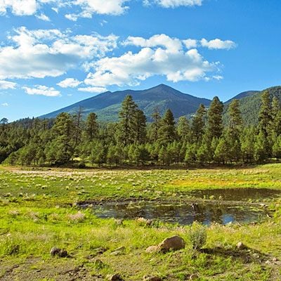
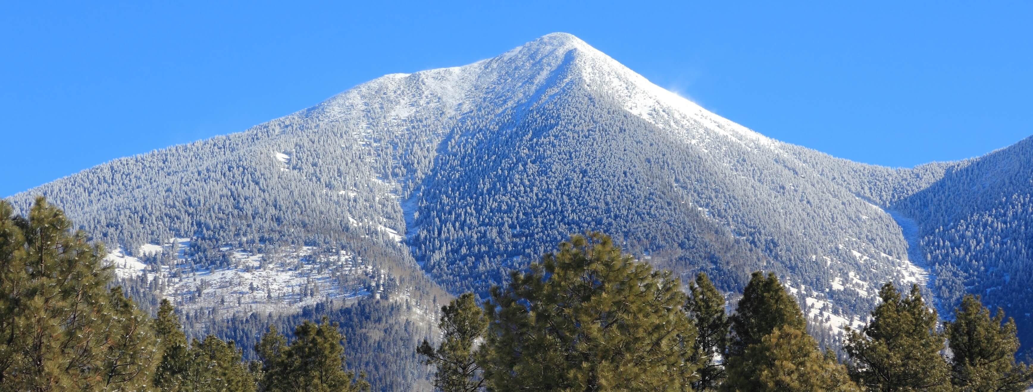
एक बार फ़्लैगस्टाफ पहुँचने पर, कई आकर्षक आकर्षण और गतिविधियों का आनंद लें:
-
डाउनटाउन फ़्लैगस्टाफ: स्थानीय संस्कृति का अनुभव करें दुकानें, रेस्तरां और ऐतिहासिक स्थलों के साथ।
-
लोवेल वेधशाला: प्लूटो की खोज के लिए प्रसिद्ध ऐतिहासिक वेधशाला का दौरा करें।
-
बाहरी गतिविधियाँ: ट्रेकिंग, माउंटेन बाइकिंग, एरीज़ोना स्नोबोल में स्कीइंग, और निकटवर्ती राष्ट्रीय पार्कों का अन्वेषण।
यात्रा योजना सुझाव
-
जल्द बुक करें: शटल की उपलब्धता सुनिश्चित करें, विशेषकर पीक सीज़न में।
-
स्पष्ट विवरण दें: इष्टतम शेड्यूलिंग के लिए बिल्कुल पिक‑अप और ड्रॉप‑ऑफ़ पते बताएं।
-
विलंब के लिए योजना बनाएं: पीक यात्रा समय या संभावित सड़क स्थितियों में अतिरिक्त यात्रा समय रखें।
ग्राहक समीक्षाएँ और प्रशंसापत्र
हमारी शटल सेवाएँ लगातार सकारात्मक प्रतिक्रिया प्राप्त करती हैं:
-
“तेज़, विश्वसनीय और आरामदायक। फ़्लैगस्टैफ़ से फ़ीनिक्स तक की अब तक की सबसे बेहतरीन शटल अनुभव!” – Samantha T.
-
“डोर‑टू‑डोर सेवा की सुविधा और ड्राइवरों के पेशेवर रवैये ने हमारी यात्रा को बहुत सुगम बना दिया।” – Richard M.
अक्सर पूछे जाने वाले प्रश्न (FAQs)
मुझे अपनी शटल कितनी जल्दी बुक करनी चाहिए?
हम सलाह देते हैं कि 24-48 घंटे पहले बुकिंग करें, हालांकि हम संभव हो तो अंतिम मिनट की अनुरोधों को भी पूरा करने की कोशिश करते हैं।
क्या आपके शटल में पालतू जानवरों की अनुमति है?
हाँ, पालतू जानवरों को पूर्व सूचना के साथ स्वीकार किया जाता है।
क्या विशेष पहुँच व्यवस्थित की जा सकती है?
बिल्कुल। बुकिंग के समय अपनी आवश्यकताओं के बारे में हमें बताएं।
क्या कोई सामान सीमा है?
हम बड़ी मात्रा में सामान की जरूरतों को पूरा करते हैं। बुकिंग के समय किसी भी विशेष आवश्यकता को निर्दिष्ट करें।
निष्कर्ष: क्यों हमारा शटल सेवा फ़ीनिक्स से फ्लैगस्टैफ़ तक यात्रा करने के लिए सबसे अच्छा विकल्प है
हमारी समर्पित शटल सेवा को चुनने से आपको फ़ीनिक्स से फ्लैगस्टैफ़ तक एक सुविधाजनक, आरामदायक और भरोसेमंद यात्रा की गारंटी मिलती है। प्रतिस्पर्धी कीमतों, शानदार वाहनों, पेशेवर ड्राइवरों और बेजोड़ दरवाज़ा-से-दरवाज़ा सुविधा के साथ, हम एक उत्कृष्ट यात्रा अनुभव प्रदान करने के लिए प्रतिबद्ध हैं।
क्या आप अपना शटल बुक करने के लिए तैयार हैं?
-
ऑनलाइन शीघ्र बुक करें: हमारे आसान ऑनलाइन बुकिंग सिस्टम का उपयोग करें।
-
हमारी टीम को कॉल करें: व्यक्तिगत यात्रा सहायता के लिए हमारे मैत्रीपूर्ण ग्राहक समर्थन से संपर्क करें।
फ़ीनिक्स से फ़्लैगस्टाफ़ तक हमारे प्रीमियम शटल सेवा के साथ आसानी और आत्मविश्वास से यात्रा करें— आपकी तनाव‑मुक्त, शानदार एरिज़ोना परिवहन के लिए श्रेष्ठ विकल्प।
अक्सर पूछे जाने वाले प्रश्न
फ़ीनिक्स से फ़्लैगस्टाफ़ तक वास्तविक ड्राइविंग दूरी क्या है?
वास्तविक दूरी आपके सटीक प्रारम्भ और समाप्त बिंदु पर निर्भर करते हुए 107.5 से 181.5 मील के बीच होती है।
फ़ीनिक्स से फ़्लैगस्टाफ़ तक ड्राइव करने में आमतौर पर कितना समय लगता है?
आदर्श परिस्थितियों में यात्रा समय लगभग 2 घंटे 15 मिनट रहता है, लेकिन ट्रैफ़िक या सड़क स्थितियों के कारण बदल सकता है।
क्या इस मार्ग के लिए शटल सेवाएँ ग्रेहाउंड से अधिक कुशल हैं?
हाँ, शटल सेवाएँ सीधे, नॉन‑स्टॉप परिवहन प्रदान करती हैं जो ग्रेहाउंड जैसी साझा यात्रा की तुलना में यात्रा समय को काफी घटा देती हैं।
फ़ीनिक्स से फ़्लैगस्टाफ़ तक अपनी यात्रा की योजना बनाते समय मुझे क्या विचार करना चाहिए?
ट्रैफ़िक स्थितियों, सड़क घटनाओं पर ध्यान दें और यदि आपका शेड्यूल कड़ा है तो अतिरिक्त यात्रा समय रखें।
"huttle cost?": "शटल लागत?", "acceptedAnswer": { "@type": "Answer", "text": "अपने How Far Is Flagstaff From Phoenix के लिए ऑनलाइन तुरंत कोट प्राप्त करें।" } Flat-rate pricing, no surge, no hidden fees." } }, { "@type": "Question", "name": "क्या मैं How Far Is Flagstaff From Phoenix शटल को 24/7 बुक कर सकता हूँ?", "acceptedAnswer": { "@type": "Answer", "text": "हाँ, हमारी How Far Is Flagstaff From Phoenix सेवा 24/7 उपलब्ध है। ऑनलाइन बुकिंग 60 सेकंड में।" } } ] }24/7 बुकिंग — दर-दर-द्वार सेवा, कोई सर्च नहीं, फ्लैट रेट। अभी ऑनलाइन बुक करें।